Digital map and cartographic collections
The digital map and cartographic collections page provides access to our local digital map and cartographic collections and resources for Nevada and the Great Basin region as well as other digital map and cartographic collections from other federal agencies, public libraries, universities, and other entities.
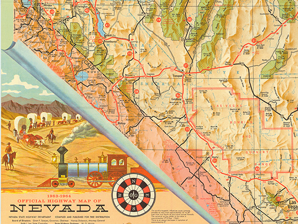
Historical Maps of Nevada and the Great Basin
Discover a diverse collection of topographical, geological, highway, mining, and historical maps and atlases spanning Nevada, California, and the Great Basin from 1750 to the 21st century consisting of 589 maps. This digital repository is a valuable resource for historians, researchers, educators, and anyone with a curiosity about the past and present of this diverse and geographically rich region.
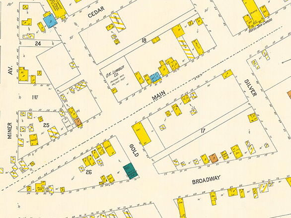
Sanborn Maps of Nevada
Explore full-color Sanborn Maps of Nevada, spanning from 1867 to the 1950s, providing a detailed visual history of the state's development over decades. These meticulously crafted maps showcase the growth of cities, towns, and infrastructure, offering insights into urban planning, architecture, and land use. Researchers, historians, and enthusiasts can delve into these maps to trace Nevada's transformation through significant periods, including the mining booms and the rise of the railroad.
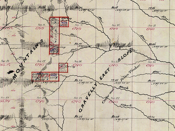
BLM, General Land Office, Survey Plat Maps
Discover a collection of Nevada's BLM General Land Office Survey Plat records of cadastral surveys dating from 1867 to 1927, offering detailed insights into the state's land surveys during this period. This collection features comprehensive plat maps detailing the division of land into townships, ranges, and sections, capturing the state's geographical and topographical evolution. Researchers, genealogists, and history enthusiasts can explore these digitized records to study land ownership, development, and historical land use in Nevada.
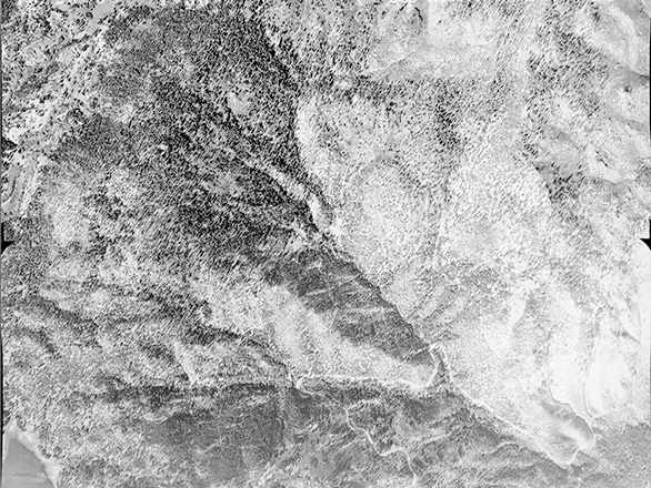
Historical Aerial Photos of Nevada
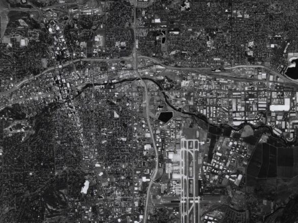
This collection of Historical Aerial Photos of Lake Tahoe, Carson City, and Reno, features 61 images taken by the Forest Service (USFS) and Soil Conservation Service (SCS now NRCS) in 1938 and 1939. Historical aerial photos are taken from an elevated position, typically from aircraft, satellites, or drones, capturing views of landscapes, cities, or regions at specific points in the past. These photos are valuable for historical research as they document changes in land use, urban development, environmental conditions, and natural features over time.
The Mackay School Theses and Dissertations
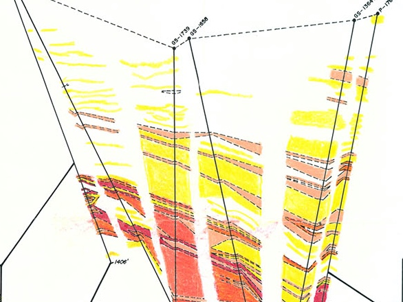
The Mackay School of Earth Sciences and Engineering, including Mackay School of Mines Theses and Dissertations collection includes scholarship related to the geologic, hydrological, geothermal, mining, and metallurgical information distinct to Nevada and the surrounding environs.
ScholarWolf - Mackay Theses and Dissertations Grant Collection
W.M. Keck Data Repository
The W.M. Keck Earth Sciences & Mining Research Repository provides a centralized location where users can explore, access, and download data related to earth sciences, mining, imagery, elevation, transportation, agriculture, cadastral, Theses, and historical maps throughout Nevada.