Explore our physical collections
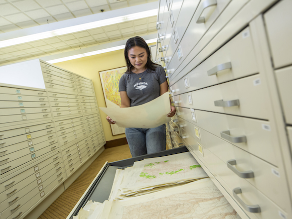
The Ansari Map Library’s physical collection focuses on Nevada and the Great Basin, with strengths in mining, geology, hydrology, and earth sciences. It also includes various national and international maps, with topographic and thematic materials dating back over a century.
Additional resources such as atlases, charts, gazetteers, and guidebooks provide valuable geographic context. These materials support research in science, history, urban planning, political sciences, land use, and more. Collection details and locations of the physical maps and resources are listed by selecting the collection tile below.
(*) Legacy Map Collections
Collections that are no longer updated and are considered historical or legacy collections are noted by an asterisk.