Map collections
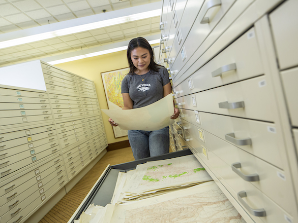
The Mary B. Ansari Map Library houses the largest physical map collection in the state, featuring topographic, geologic, and thematic maps that support research, education, and historical inquiry.
Maps and georesources
Find maps, online collections, guides, and resources you need.
The Mary B. Ansari Map Library houses the largest physical map collection in the state, featuring topographic, geologic, and thematic maps that support research, education, and historical inquiry.
Online digital map and geospatial collections
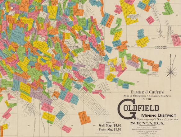
Nevada and the Great Basin Maps Collections
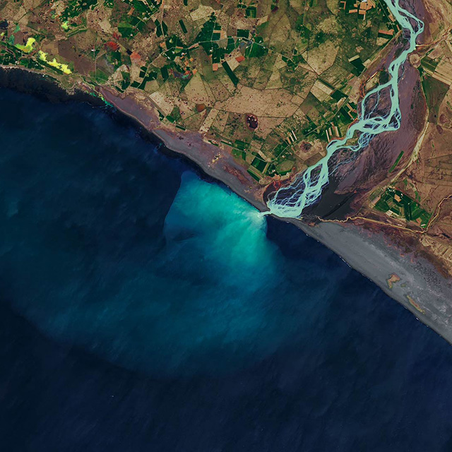
This digital collection consists of maps related to historic Nevada and the Great Basin, including historic aerial photos, historic maps of Nevada and the Great Basin, Sanborn maps, and State Land Office maps.
The Mackay School Theses
The Mackay School of Earth Sciences and Engineering Theses Collection includes scholarship related to the geologic, hydrological, geothermal, mining, and metallurgical information distinct to Nevada and the surrounding environs.
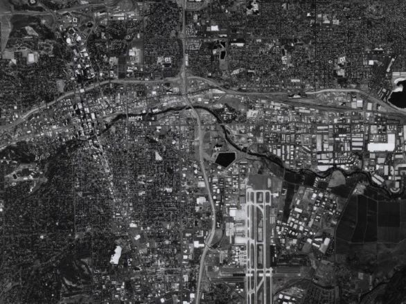
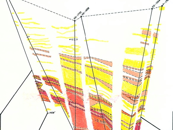
W.M. Keck Data Repository
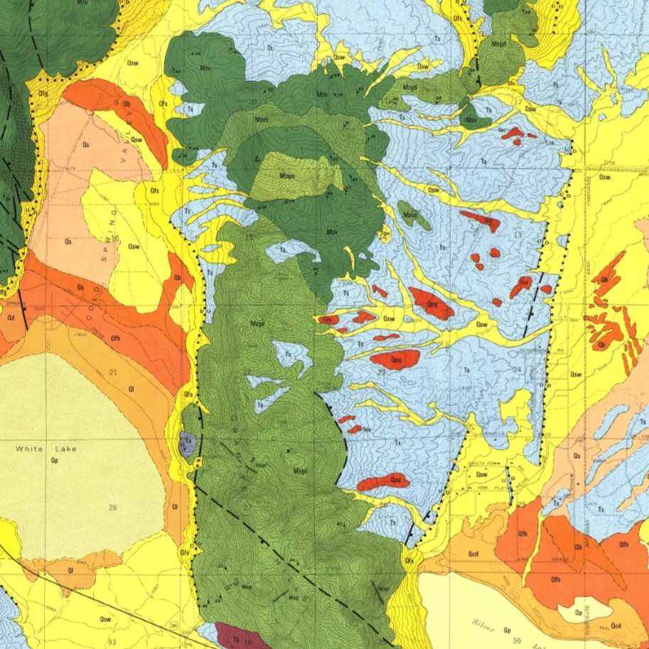
The W.M. Keck Earth Sciences and Mining Geosciences Data Repository site hosts GIS imagery and maps specifically for the state of Nevada and surrounding areas. Availability includes NAIP, DOQ, CIR, DRG, Topographic Maps, SPOT, NED, DEM, Aster, Landsat, and Geologic Maps.
The research guides offer curated resources, search tips, and subject-specific guidance to help you navigate topics in geography, geology, mining, and GIS.
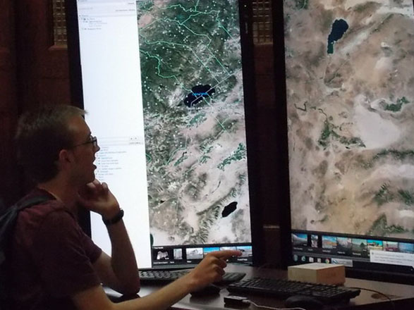
Our computer labs and services provide access to GIS software, data visualization tools, and research support for working with spatial data, mapping projects, and geospatial analysis.
Thinking about incorporating cool maps with data to analyze patterns, relationships or situations for your class, project, research or thesis/dissertation? Contact the Earth Science, GIS and Maps Librarian to discuss options for your research, schedule a workshop for your class, or one-on-one assistance.
The Data and GIS Depot is located in the DeLaMare Science and Engineering Library, basement level, and is dedicated to providing access and services to help students and faculty with Data and GIS instruction, tutoring, consultations, and more. Specialists in GIS and Data management, analysis, visualization, and storage are available via in person and zoom appointments, as well as walk-in during multiple office hours offered through the week. Check out the GIS Library Guide for details and times.
List of specialized software available at the Data and GIS Depot computer lab:
Current students are eligible to receive a 1-year ArcGIS Desktop or Pro License.
Keep up to date with GIS news and learn more